All countries of the world listed from A-Z:

or choose from the countries per continent below:


 |  |  |  |  |  |
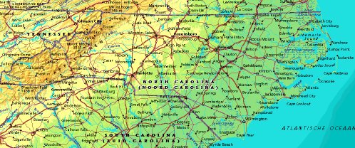 | UNITED STATES OF AMERICA : NEW CAROLINA
|
| General useful information |
| Note: some data are of constant value, while other are due to changes, fluctuations etc. |
| State and population |
| capital: Raleigh // state code ISO: NC ; FIPS: US37 |
| surface: 126187 sq.km = 48724 sq.mi // rank in USA: 29 // location: South Atlantic |
| climate: sub-tropical in SE, medium-continental in mountain region, tempered by Gulf Stream |
| entered USA as 12th state ratifying the Constitution on: 1789-11-21 |
| administrative division: 100 counties |
| total population according to the census of 2000: 8,049,313 |
| population density 2000: 64 per sq.km = 165 per sq.mi // net growth 1999-2000: 21,4% |
| main ethnic groups: white 72,1%; black 21,6%; Asian 1,4%; Native American/Nat. AK 1,2%; other 3,5% |
| Economy and infrastructure |
| chief crops: tobacco, cotton, soybeans, corn, food grains, wheat, peanuts, sweet potatoes |
| livestock (million): cattle: 0,95 / pigs: 9,4 / poultry: 17,6; broilers 674,6 |
| timber/lumber: yellow pine, oak, hickory, poplar, maple |
| chief industries: manufacturing, agriculture, tourism |
| chief industrial products: food products, textiles, industrial machinery & equipm., electrical & electronic equipm. |
| chief mining products: crushed stone, phosphate rock, sand & gravel, clays |
| Some physical landmarks |
| highest point in the state: Mt. Mitchell 2037 m = 6684 ft |
| other mountains: Clingmans Dome 2025, Mt. Guyot 2018 |
| lowest point in the state: sea level |
| lakes: Lake Waccamaw, Nantahala Lake, Mattamuskeet Lake, Phelps Lake |
| artificial lakes: High Rock Lake, L. Norman, Wylie L., Fontana L., Buggs Island L., L. Gaston |
| rivers: Roanoke, Tar, Pamlico, Neuse, Cape Fear, Yadkin |
| others: islands: Hatteras Island, Smith Island, Bodie Island, Roanoke Island // deserts: none |
| Additional remarks, especially on the statistical information |
| other important features: |
| nick name(s): Tar Heel State, Old North State |
| motto: Esse Quam Videri (To be rather than to seem) |
| song: The Old North State |
| flower: Dogwood // bird: Cardinal // tree: Pine |
| primary sources: |
| World almanac and book of facts; National Geographic Atlas of the World; maps: WN world @tlas |
 Back to the page containing general information of the whole country
 To the page containing the population growth statistics of the whole country
 to the secondary administrative division of the state
To the page containing historical population statistics of some important towns of the state
To the page containing urban historical population statistics of the whole country
 Back to the homepage of this website: POPULATION STATISTICS
File created on 2003.03.03 by Jan Lahmeyer
© "populstat" site: Jan Lahmeyer